Aperçu avant impression Fermer

Affichage de 981 résultats

description archivistique
City of Winnipeg Archives Photograph collection
Aperçu avant impression Hierarchy Affichage :

957 résultats avec objets numériques Afficher les résultats avec des objets numériques

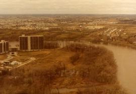
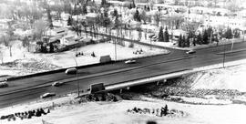
Aerial of 1974 Flood – Red River between North and West Kildonan

Aerial photograph of the Red River during the 1974 Flood. The photograph faces west from North Kildonan, where the Chief Peguis Trail now stands, across the river towards Kildonan Park and West Kildonan on the left, the North End Water Treatment Plant in the middle, and Old Kildonan on the right. The photographs were taken by the Department of Environmental Planning.

Sans titre

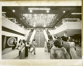
Council Meeting, November 2, 1977

Photograph shows first session of Council after it was reduced from 50 Councillors to 29 Councillors, taken from seating gallery looking down into Council Chamber. - Stamp (on verso): Photograph by Hugh Allan, 116 Hazeldell Ave, Winnipeg, Man., R2F 0P5.

Sans titre

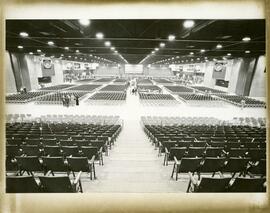
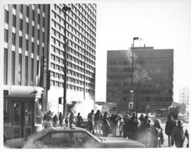
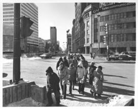
Looking east on Portage Avenue East prior to the opening of the Portage and Main underground pedestrian concourse on February 23, 1979

Caption (on file): "Shivering on the corner of Portage and Main on a cold, windy day waiting for traffic lights to change will now be just a memory with the opening of a climate controlled underground pedestrian concourse linking the four corners of Winnipeg's famous intersection."

Sans titre

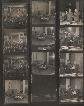
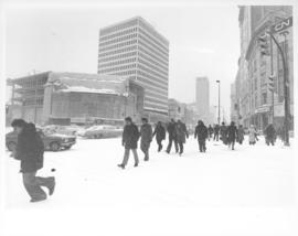
Looking west on Portage Avenue prior to the opening of the Portage and Main underground pedestrian concourse on February 23, 1979

Caption (on file): "Residents of Winnipeg who for a hundred years have fought the wintry winds at the corner of Portage and Main will now cross in summertime comfort with the provision of an environmentally controlled pedestrian concourse beneath Canada's most famous corner."

Sans titre

Résultats 961 à 980 sur 981