
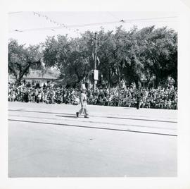
Winnipeg's 75th Anniversary parade - boy in parade regalia
- i04330
- Item
- 6 Jun. 1949
Winnipeg's 75th Anniversary parade - boy in parade regalia
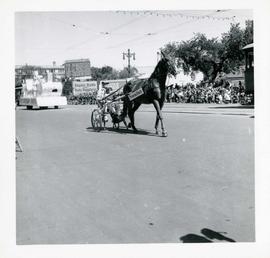
Winnipeg's 75th Anniversary parade - "Princess Patch" cart
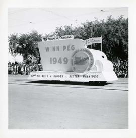
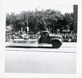
Winnipeg's 75th Anniversary parade - Junior Chamber of Commerce of Canada float
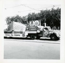
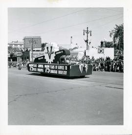
Winnipeg's 75th Anniversary parade - Hudson's Bay Company float
Winnipeg's 75th Anniversary parade - Vulcan Iron and Engineering float
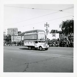
Winnipeg's 75th Anniversary parade - General Bakeries float

Winnipeg's 75th Anniversary parade - Holy Rosary Church (Italian community) float

Waghorn's Guide map and street index
Part of City Clerk's Library collection
Waghorn's Guide - a small promotional pamphlet published by J.R. Waghorn in 1895. The pamphlet contains a street map of Winnipeg, a street index, and advertisements for various Winnipeg businesses including the Clarendon Hotel, the Redwood Brewery, and the Massey-Harris Company. The map shows the old City of Winnipeg from the Red River on the east to Waverly, Aubrey, and McPhillips Streets on the west, and from Athole Avenue (now Luxton Avenue) in the north to Parker Avenue in the south. Southern Elmwood, Old St. Boniface, and Norwood are also shown on the east side of the river. Railway lines are in black and electric street railway lines are in red.
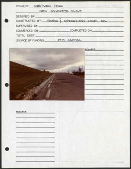
Westview Park – Saskatchewan Landfill – project development components
Project development components form for Westview Park with a colour photograph affixed.
Winnipeg (Man.). Parks and Recreation Department
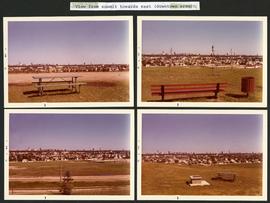
Westview Park – Saskatchewan Landfill – view from summit
4 photographs taken from the summit of Westview Park, facing east. Photographs are affixed to a black page.
Winnipeg (Man.). Parks and Recreation Department

Notre Dame Avenue facing west from Arlington Street
View of the boulevard on Notre Dame Avenue facing west, between Arlington and McPhillips Streets. Free Press Depot Number 2 can be seen on the right.