Showing 47 results

archival descriptions
Rivers
Print preview Hierarchy View:

46 results with digital objects Show results with digital objects

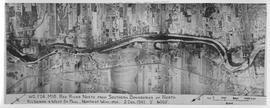
Aerial photograph Red River north from southern boundaries of North Kildonan and West St. Paul, n...
Aerial photograph Red River north from southern boundaries of North Kildonan and West St. Paul, north of Winnipeg, 1943
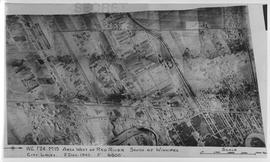
Aerial photograph area west of Red River, south of Winnipeg City Limits, 1943
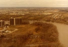
Aerial of 1974 Flood – Red River between North and West Kildonan
Aerial of 1974 Flood – Red River between East and West Kildonan
Aerial of 1974 Flood – Pritchard Avenue Boat Dock and Redwood Bridge
Aerial of 1974 Flood – Fraser’s Grove Park
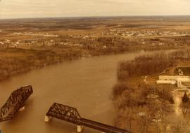
Aerial of 1974 Flood – Bergen Cutoff Bridge
Results 41 to 47 of 47