A map of the proposed Tuxedo Park residential suburb, specifically the area surrounding the old University of Manitoba campus and Olmsted and Assiniboine Parks. The map shows streets and lots as well as details of the university campus. The map was created by Charles Clifton Chataway (1869-1920) and Bulman Brothers Ltd.
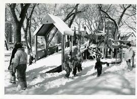
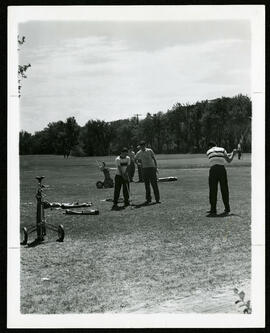
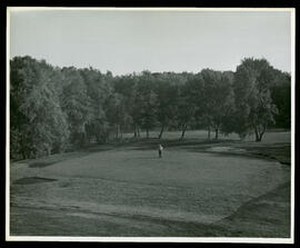
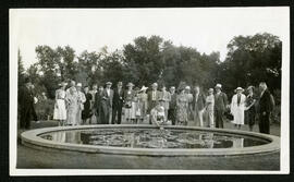
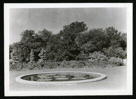
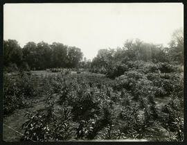
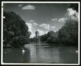
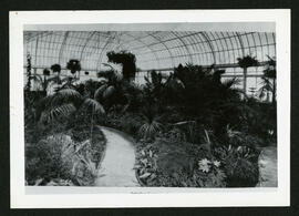
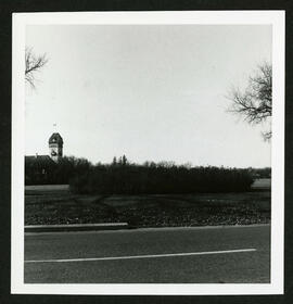
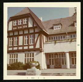
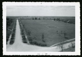
From a collection of records about the history of parks and recreational activities in Winnipeg with photos of the old conservatory in Assiniboine Park.
Contains job applications submitted to the City Surveyor from 1919-1924, all of which feature the Slave Pact agreement that civic employees began to have to sign after the General Strike that essentially forbade them from taking any strike action.