

- i00043
- Item
- 1872
Part of City of Winnipeg (1874-1971)
70 results with digital objects Show results with digital objects
Part of City of Winnipeg (1874-1971)

Part of East Ward, St. Boniface in the distance
Part of City of Winnipeg (1874-1971)
Photograph taken from top of Courthouse.

Waghorn's Guide map and street index
Part of City Clerk's Library collection
Waghorn's Guide - a small promotional pamphlet published by J.R. Waghorn in 1895. The pamphlet contains a street map of Winnipeg, a street index, and advertisements for various Winnipeg businesses including the Clarendon Hotel, the Redwood Brewery, and the Massey-Harris Company. The map shows the old City of Winnipeg from the Red River on the east to Waverly, Aubrey, and McPhillips Streets on the west, and from Athole Avenue (now Luxton Avenue) in the north to Parker Avenue in the south. Southern Elmwood, Old St. Boniface, and Norwood are also shown on the east side of the river. Railway lines are in black and electric street railway lines are in red.

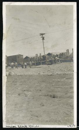

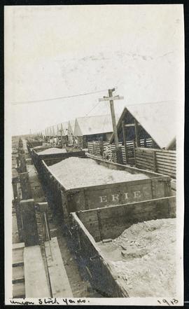
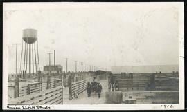
Cars hauling gravel material at Union Stock Yards
Part of Morris Block collection
Block, Morris
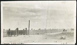

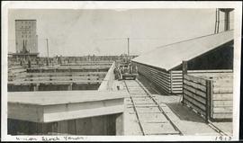
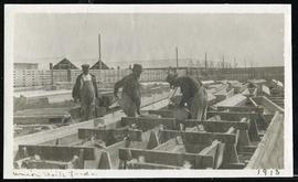
Water tower and walls at Union Stock Yards
Part of Morris Block collection
Block, Morris
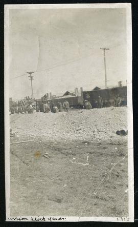
Cars hauling gravel material at Union Stock Yards
Part of Morris Block collection
Block, Morris

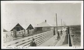
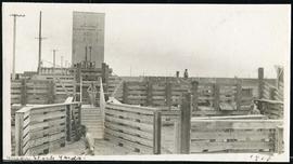
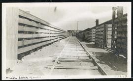
Walls and buildings at Union Stock Yards
Part of Morris Block collection
Block, Morris
Water tower and walls at Union Stock Yards
Part of Morris Block collection
Block, Morris
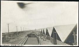
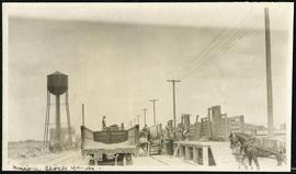
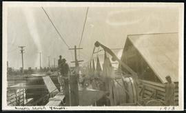
Work being done near water tower at Union Stock Yards
Part of Morris Block collection
Block, Morris