Aerial of 1974 Flood – Pritchard Avenue Boat Dock and Redwood Bridge
- i04025
- Pièce
- 1974
Fait partie de City of Winnipeg Archives Photograph collection
Aerial photograph of the Red River during the 1974 Flood. The photograph faces northwest towards the North End, with the Pritchard Avenue Boat Dock in the bottom left and the Redwood Bridge in the top right. The photographs were taken by the Department of Environmental Planning.
Sans titre


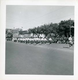
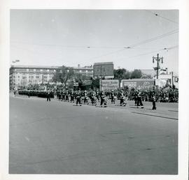
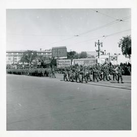
![Winnipeg's 75th Anniversary parade - Shriners[?]](/uploads/r/city-of-winnipeg-archives-amp-records-control-branch/7/d/8/7d887875738e50b1cabe51b749b93ad1c9893e57286db7e95a76ae4ef10d8115/C0013_0000_0000_P0044_0011_029_142.jpg)
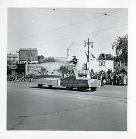
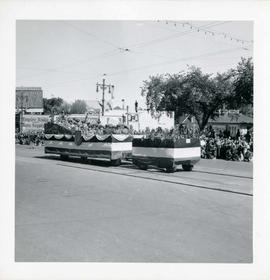
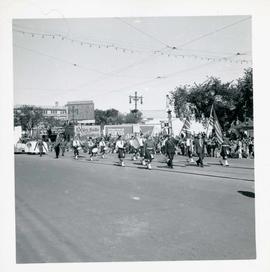
![Winnipeg's 75th Anniversary parade - Shriners[?] drumming](/uploads/r/city-of-winnipeg-archives-amp-records-control-branch/e/2/a/e2a818fe49573838bde637dd5016d830e900a46416ff376604d6985e81a3944f/C0013_0000_0000_P0044_0011_030_142.jpg)