
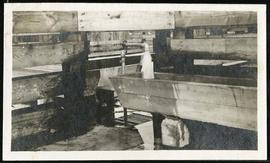
Water trough, likely at Union Stock Yards
- i04460
- Item
- [between 1913 and 1915]
Part of Morris Block collection
Block, Morris
70 results with digital objects Show results with digital objects
Water trough, likely at Union Stock Yards
Part of Morris Block collection
Block, Morris
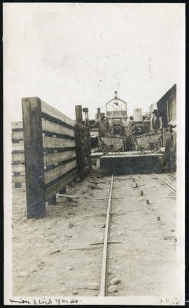

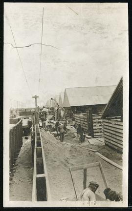
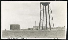
Buildings and water tower of Union Stock Yards
Part of Morris Block collection
Block, Morris

Waghorn's Guide map and street index
Part of City Clerk's Library collection
Waghorn's Guide - a small promotional pamphlet published by J.R. Waghorn in 1895. The pamphlet contains a street map of Winnipeg, a street index, and advertisements for various Winnipeg businesses including the Clarendon Hotel, the Redwood Brewery, and the Massey-Harris Company. The map shows the old City of Winnipeg from the Red River on the east to Waverly, Aubrey, and McPhillips Streets on the west, and from Athole Avenue (now Luxton Avenue) in the north to Parker Avenue in the south. Southern Elmwood, Old St. Boniface, and Norwood are also shown on the east side of the river. Railway lines are in black and electric street railway lines are in red.

Part of East Ward, St. Boniface in the distance
Part of City of Winnipeg (1874-1971)
Photograph taken from top of Courthouse.

Part of City of Winnipeg (1874-1971)
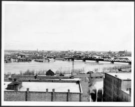
Flooding on the Red River towards St. Boniface.
Part of City of Winnipeg (1874-1971)
A photograph of the flooded Red River during the 1950 flood in Winnipeg. The photograph is taken looking toward St. Boniface.
Harold K. White Studio

Building Water Street causeway about 2nd day
Part of City of Winnipeg (1874-1971)
A photograph of the building of the Water Street causeway during the 1950 flood in Winnipeg. St. Boniface Cathedral can be seen in the background.
Harold K. White Studio