Showing 145 results

archival descriptions
Streets
Print preview Hierarchy View:

140 results with digital objects Show results with digital objects

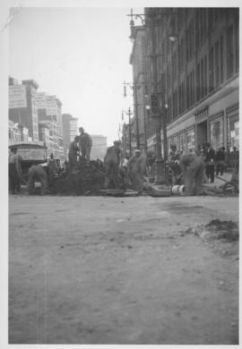
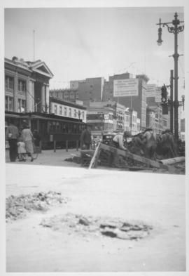
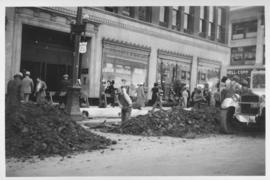
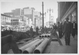
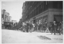
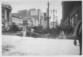
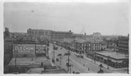
North side of Lombard, Rorie to Main Street

A photograph of storefronts and advertisements on the north side of Lombard Avenue, between Rorie Street and Main Street. The photograph is part of small album containing photographs of maps tracking the outbreak of typhoid from 1905 to 1909 and other scenes. Item is loose and at back of album.

North End Farmers' Market

Photograph shows the North End Farmer's Market (west side Main Street, north of Stella Avenue, looking west to King Street). Included in photograph: front entrance to market, automobiles parked on street, and North End Horse Exchange (523 King Street). Photograph likely taken from 919-921 Main Street by city employee.

Mini-park on Academy Road at Kenaston Boulevard

Photograph of a small park at the intersection of Academy Road and Kenaston Boulevard after Metro's beautification efforts, featuring trees, benches, and a water feature. A description of the photo used for publication is recorded on a separate piece of paper. Photo's reverse is stamped by the Parks and Protection Division of the Metro Government.

Metropolitan Corporation of Greater Winnipeg (Man.). Information Officer

Results 61 to 80 of 145