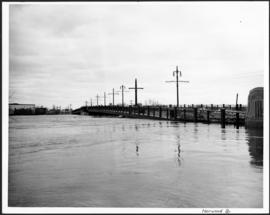
No. 8 A portion of the Lyndale dike in Norwood with the Norwood Bridge in the background
No. 4 Plan of City of Winnipeg and environs showing sewer district boundaries, trunk sewers, Greater Winnipeg Sanitary District Interceptor, sewage pumping stations and underpasses
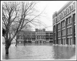
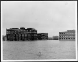
Municipal Hospitals
Municipal Hospitals
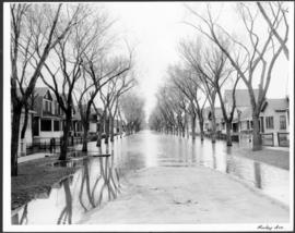
Morley Avenue
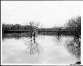
Maryland Bridge
Man in boat rowing down residential street, 1916 Flood, Norwood
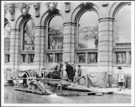
Main Street looking south from Main Street Bridge
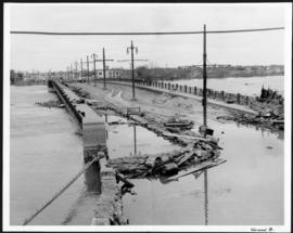
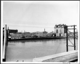
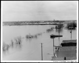
Main Street Bridge
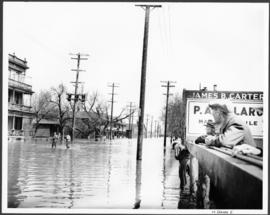
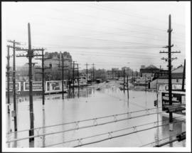
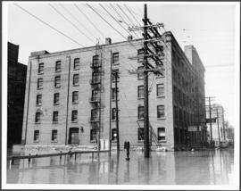
Main Street
Main Street
Lyndale Drive from Pellissier Br. Roof
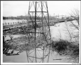
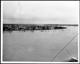
Louise and C.P.R. Bridge from top of Rover Station