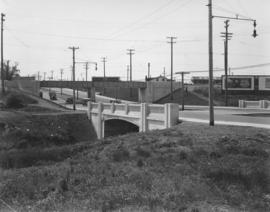
Bridge over Omands Creek on Portage Avenue, looking west to Polo Park
C.P.R. Depot, Winnipeg, Man.
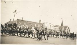
Lord Strathcona Horse
View of Main Street south from Higgins showing Alberta Hotel
Floods - St. Boniface and Norwood - April 1916
Rue Langevin, Floods, St. Boniface - April 1916
Winnipeg Boat Club under water, Norwood, April 1916
Old St. James Bridge Approach
Overhanging Signs: North side of Portage Avenue looking West from Young Street
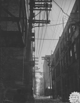
Lane west of Main, south of Portage, looking south from Portage
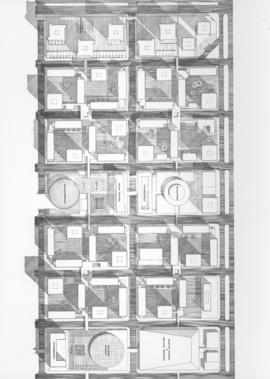
Downtown Winnipeg - Plan of St. Mary-Broadway Sector
Downtown Winnipeg - Model photo of Downtown Plan (side view)
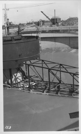
Montcalm Street, river crossing
No. 4 Plan of City of Winnipeg and environs showing sewer district boundaries, trunk sewers, Greater Winnipeg Sanitary District Interceptor, sewage pumping stations and underpasses
East Clarifier, placing mortar finish
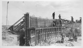
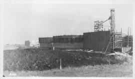
West Clarifier, 1st section wall
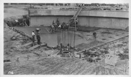
West Clarifier, floor
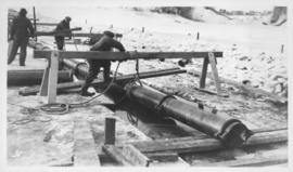
Digestors and Elutriation
Digestors and Panorama
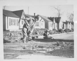
Screed - Inkster Boulevard, east of McKenzie Street