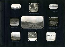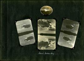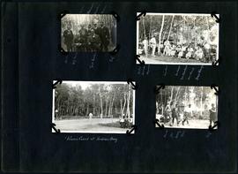
William Smaill Photo Album – Page 82
- p00200
- Part
- 1915
Fait partie de William Smaill fonds
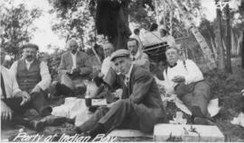
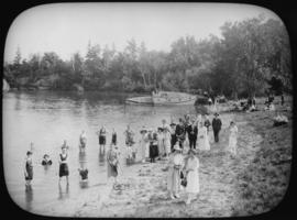
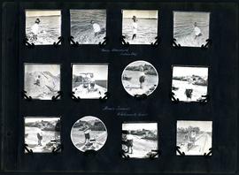
Captions read: Bruce, W.G. Chase [Chace], [?] H. Fuertes, Self, Sailman, Blanchard, Crawley, Richan - Walter, Bourne, Heywood, Miss Rust, Mrs. Waugh- Mrs. Blanchard, Miss Waugh, Mayor Waugh - Tennis court at Indian Bay - Bourne, Joe Nancy, Bell, Self.
Sans titre