
Showing 14 results
archival descriptions14 results with digital objects Show results with digital objects
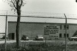
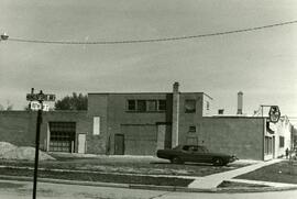
Sign about industrial zoning at business near Rothesay Street
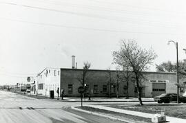
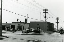
Businesses at the corner of Rothesay and Edison
7-eleven and Shell station on Rothesay between Edison and Kingsford
7-eleven and Shell station on Rothesay between Edison and Kingsford
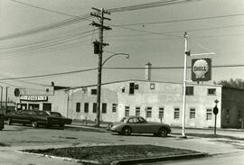
Shell station on Rothesay Street near Kingsford
Shell station on Rothesay Street near Kingsford
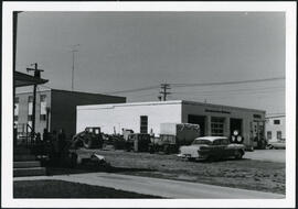
Shell station on Rothesay Street near Kingsford
7-Eleven at the corner of Rothesay and Kingsford
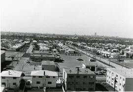
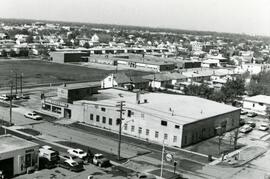
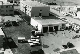
Aerial view of strip mall at Rothesay and Kingsford
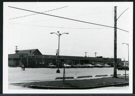
Strip mall on Rothesay at Kingsford

Apartment block at 415 Edison Avenue

Aerial photograph Red River north from southern boundaries of North Kildonan and West St. Paul, north of Winnipeg, 1943
![Kildonan Park [Aerial view]](/uploads/r/city-of-winnipeg-archives-amp-records-control-branch/f/5/8/f589f26a584950aadbe5b101158e69cde3cad16f0f0cf05dcbb2a97e34661f16/C0013_0000_0000_P0018_0037_001_142.jpg)
Kildonan Park [Aerial view]
![Kildonan Park [Aerial view]](/uploads/r/city-of-winnipeg-archives-amp-records-control-branch/f/1/2/f128f88f8d2c2c0c11c754244bf269182c057eec594b0ca1962384f7a8471152/C0013_0000_0000_P0018_0036_001_142.jpg)
Kildonan Park [Aerial view]