A photograph of the Rover Street hydro station, surrounded by water, during the 1950 flood. A group of people are walking on the sandbag dike that surrounds the building.
A photograph of the Eaton's printing plant and warehouse on Robert Street (Galt Avenue) during the 1950 flood. The building is surrounded by a sandbag dike and water.
A photograph of a pipe pouring water onto tracks on Robert Street (Galt Avenue) during the 1950 flood. A pile of wood is along one side of the street. The Ogilvie Flour Mill can be seen in the background.
A photograph of three people walking down Sutherland Avenue, near a rock causeway, during the 1950 flood. A boat is in a flooded ditch next to a sandbag dike.
A photograph of equipment and vehicles at the beginning of a rock causeway at the intersection of Sutherland Avenue and Disraeli Street during the 1950 flood.
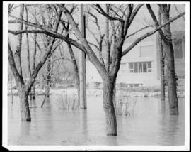
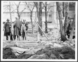
Subseries consists of photographs collected and maintained by the City Engineering Department as a record of the 1950 flood. Photographs primarily document flooded areas in Winnipeg, showing street views, buildings, bridges, and other details related to the built environment. All photographs were taken by Harold K. White Studio.