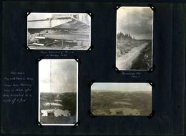
Captions read: Shows settlement of class 19[?] in muskeg, mile 86 - Foundation Fill, camp 6 - Pilot ditch dug with class in drag, shows how muskeg rises in ditch after being excavated to a depth of 8 feet.
Captions read: Views at Camp 2, Mile 51 - Packed backfill, gravel - Inverst after Rainstorm - Boulders from trench - Mixer, concrete cars, and gas dinkey - Pads protected from frost with moss - Manhole and blowoff - Mixer.
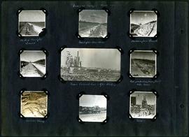
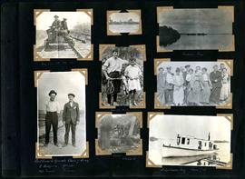
Captions read: My car at mile 38 - Indian Bay - First crew to operate class 7 drag, C. Walgren, operator, [W.H.?] Smaill, fireman - Lassie, Hamish - Fisherman's Tug, Shoal Lake. Also contains a photo showing Kekekoziibii Shoal Lake 40 First Nation in the distance.
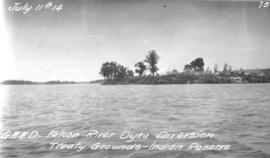
Photograph of Kekekoziibii (Shoal Lake 40) First Nation camp at Shoal Lake. Photograph taken from the Falcon River Diversion Dyke by William G. Chace, Chief Engineer of the Winnipeg Aqueduct.
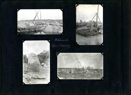
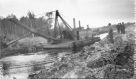
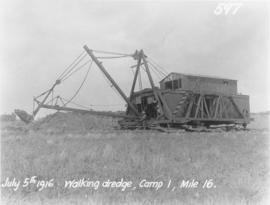
Photograph of a dredge excavating the Falcon River Diversion Canal between Indian Bay and Snowshoe Bay, with consulting Engineer James H. Fuertes standing to the right. Photograph is looking northwest and the photographer is unknown.
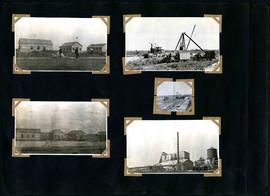
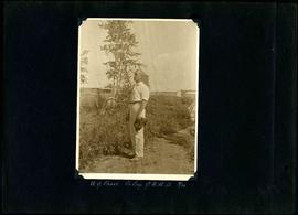
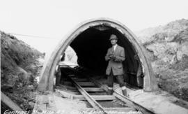
Photograph of William G. Chace, Chief Engineer of the Winnipeg Aqueduct, standing in front of a completed aqueduct arch east of Brokenhead River. Photographer is unknown.
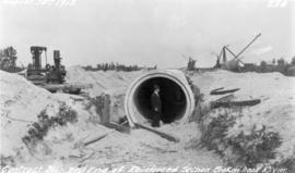
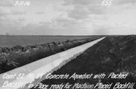
Photograph of a concrete section of the Winnipeg Aqueduct near Spruce Siding, Manitoba. The aqueduct section is packed with backfill and ready for more to be placed by machine. Photographer is unknown.
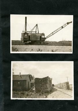
Photograph of a mixer site opposite Greater Winnipeg Water District siding rail line number 8, east of East Braintree, Manitoba. Photographer is unknown.