
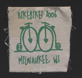
Bike!Bike! 2006 Milwaukee, WI screen print
- i04777
- Item
- 2006
Part of The W.R.E.N.C.H. Winnipeg Cycling Archive collection
Artist unknown.
Bike!Bike! 2006 Milwaukee, WI screen print
Part of The W.R.E.N.C.H. Winnipeg Cycling Archive collection
Artist unknown.
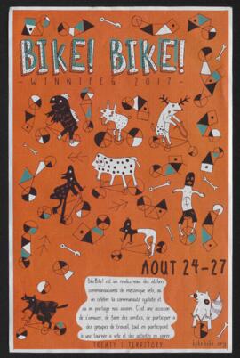
Bike!Bike! 2017 Winnipeg conference poster
Part of The W.R.E.N.C.H. Winnipeg Cycling Archive collection
Artist unknown.
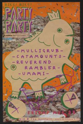
Part of The W.R.E.N.C.H. Winnipeg Cycling Archive collection
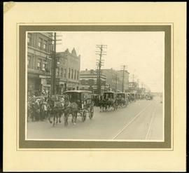
Canada Bread delivery wagons at Main and Selkirk
Part of Morris Block collection
Photograph mounted on cardboard of a cavalcade of Canada Bread horse-drawn delivery wagons riding south down Main Street, at the corner of Selkirk Avenue.
Block, Morris
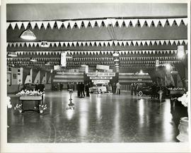
A car show likely held at the Civic Auditorium on Vaughan Street. Several cars are on display from brands such as Hudson and Austin.
Part of Morris Block collection
Block, Morris

City of Winnipeg bicycle license plate
Part of The W.R.E.N.C.H. Winnipeg Cycling Archive collection

Clark’s Department Store at Highway 59 panorama
View of Clarks at Highway 59, southwest corner of Panet Road and Nairn Avenue, 8.5 acres. From left to right: B/A gas bar, Loblaws, Clarks Discount Store and Auto Centre, B/A gas bar, Kavanaugh's Hamburgers. Consists of 3 separate photographs pasted together on cardboard to create a panorama. The cardboard is a scrap made from an old sign of the Metropolitan Corporation of Greater Winnipeg (visible on the reverse). The cardboard is numbered “4”, presumably as part of a compilation with other shopping centre panoramas.
Metropolitan Corporation of Greater Winnipeg (Man.). Planning Division
Part of Morris Block collection
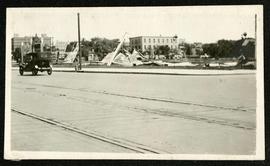
Photograph of a pile of collapsed advertisement signs on an otherwise empty lot.
Block, Morris

Crane and David, Bakers and Confectioners
Staff standing in front of Crane and David Bakers and Confectioners at 765 Dufferin Avenue and a horse-drawn delivery cart.

Crestview Shopping Centre panorama
View of Crestview Shopping Centre, 3395 Portage Avenue, 8.3 acres. From left to right: Kmart Department Store, Dominion Store, Various Shops. Consists of 3 separate photographs pasted together on cardboard to create a panorama. The cardboard is a scrap made from an old sign of the Metropolitan Corporation of Greater Winnipeg (visible on the reverse). The cardboard is numbered “9”, presumably as part of a compilation with other shopping centre panoramas.
Metropolitan Corporation of Greater Winnipeg (Man.). Planning Division

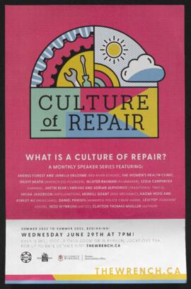
Part of The W.R.E.N.C.H. Winnipeg Cycling Archive collection
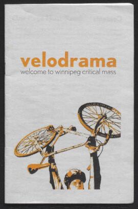
Critical Mass Winnipeg
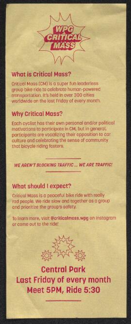
Part of The W.R.E.N.C.H. Winnipeg Cycling Archive collection
Critical Mass Winnipeg
Part of The W.R.E.N.C.H. Winnipeg Cycling Archive collection
Critical Mass Winnipeg

Crossroads Shopping Centre panorama
View of Crossroads Shopping Centre, 1580 Regent Avenue W., 18 acres. From left to right: Woolco Department Store, Various shops, Safeway, Pacific 66 Gas Bar. Consists of 3 separate photographs pasted together on cardboard to create a panorama. The cardboard is a scrap made from an old sign of the Metropolitan Corporation of Greater Winnipeg (visible on the reverse). The cardboard is numbered “3”, presumably as part of a compilation with other shopping centre panoramas.
Metropolitan Corporation of Greater Winnipeg (Man.). Planning Division
Part of The W.R.E.N.C.H. Winnipeg Cycling Archive collection
The W.R.E.N.C.H.
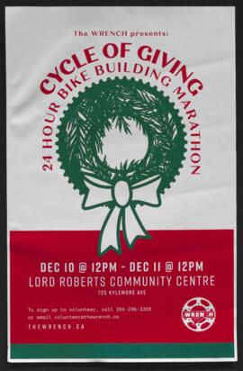
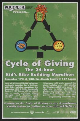
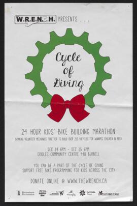
Cycle of Giving 24 hour bike building marathon poster
Part of The W.R.E.N.C.H. Winnipeg Cycling Archive collection
The W.R.E.N.C.H.
Part of The W.R.E.N.C.H. Winnipeg Cycling Archive collection
The W.R.E.N.C.H.
Part of The W.R.E.N.C.H. Winnipeg Cycling Archive collection
The W.R.E.N.C.H.
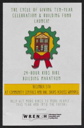
Cycle of Giving ten-year celebration and building fund launch pamphlet
Part of The W.R.E.N.C.H. Winnipeg Cycling Archive collection
The W.R.E.N.C.H.