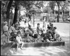
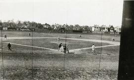
A page from a photograph album. 4 photographs show children playing baseball (top left), children playing ring-around-the-rosy (top right), children playing baseball (bottom left), and girls playing volleyball in a school yard (bottom right). Date of photographs is approximate, [ca. 1920].
A page from a photograph album. Photographs show boys dancing on an outdoor dance floor (top), children posing at a playground (bottom left), and children playing volleyball at a school playground on the first side (bottom right). Date of photographs is approximate, [ca. 1920].
A page from a photograph album. Photographs show girls playing a game at a playground (top left), children playing on a school playground slide (top right), and a girl swinging a baseball bat while other children watch (bottom). Date of photographs is approximate, [ca. 1920].
A map of the proposed Tuxedo Park residential suburb, specifically the area surrounding the old University of Manitoba campus and Olmsted and Assiniboine Parks. The map shows streets and lots as well as details of the university campus. The map was created by Charles Clifton Chataway (1869-1920) and Bulman Brothers Ltd.

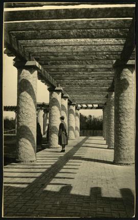
![Parks and Playgrounds - General [Greenway School No. 1]](/uploads/r/city-of-winnipeg-archives-amp-records-control-branch/2/f/7/2f785ef0896bef42aa5219d8fcb92941d32ea2707d5b428b4c567919a8928197/C0008_0001_0000_A0056_0036_001_142.jpg)
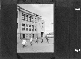
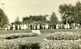
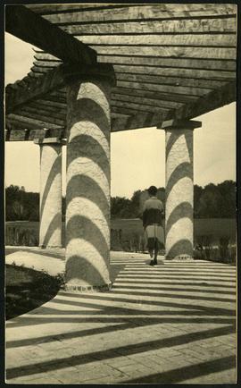
![Parks and Playgrounds - General [Greenway School No.1]](/uploads/r/city-of-winnipeg-archives-amp-records-control-branch/b/3/4/b34046418918de050940ae205eb78e0897287dd3dda334c96f28092c41f83ba3/C0008_0001_0000_A0056_0044_002_142.jpg)
![Parks and Playgrounds - General [Greenway School No.1]](/uploads/r/city-of-winnipeg-archives-amp-records-control-branch/6/6/b/66b37eeaa476897febf9986d6fe99723e68f1da41085f773fb292c92f6c133ce/C0008_0001_0000_A0056_0044_001_142.jpg)