View of Clarks at Highway 59, southwest corner of Panet Road and Nairn Avenue, 8.5 acres. From left to right: B/A gas bar, Loblaws, Clarks Discount Store and Auto Centre, B/A gas bar, Kavanaugh's Hamburgers. Consists of 3 separate photographs pasted together on cardboard to create a panorama. The cardboard is a scrap made from an old sign of the Metropolitan Corporation of Greater Winnipeg (visible on the reverse). The cardboard is numbered “4”, presumably as part of a compilation with other shopping centre panoramas.
Metropolitan Corporation of Greater Winnipeg (Man.). Planning Division


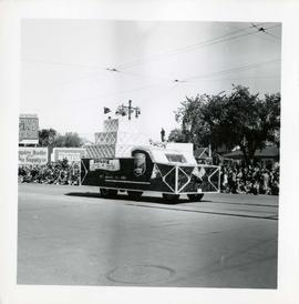

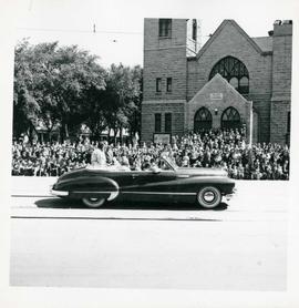
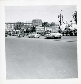
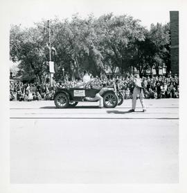
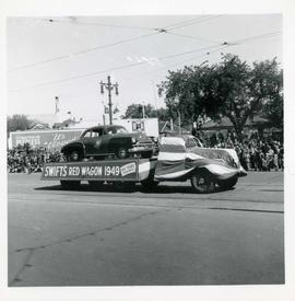
![Winnipeg's 75th Anniversary parade - Dickson Motors [?] 1912 Buick float](/uploads/r/city-of-winnipeg-archives-amp-records-control-branch/8/d/0/8d0709294d37f435845ca7e123faef1c524ae3c590b22bddaebd73e1dbfec56f/C0013_0000_0000_P0044_0011_037_142.jpg)