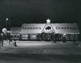
Prairies Cities Oil Service Station, Graham and Fort

Winnipeg City Hall with automobiles parked in front
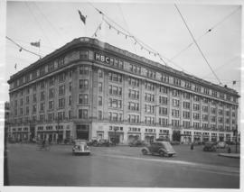
Hudson's Bay Company Store from Portage Avenue at Memorial Boulevard
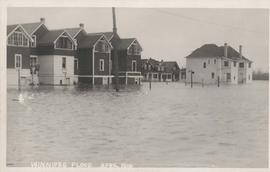
Winnipeg Flood - April 1916
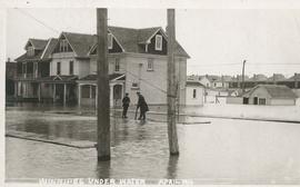
Winnipeg under water - April 1916
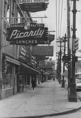
Overhanging Signs: North side of Portage Avenue looking East from Vaughan Street
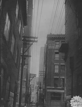
Lane north of Portage, between Donald and Smith, looking east

Downtown Winnipeg - Section and Interior View of Winter Garden
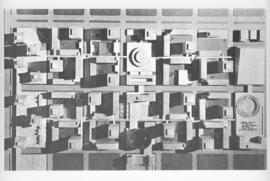
Downtown Winnipeg - Model Photo of Downtown Plan (aerial view)
Montcalm Street, river crossing
Junction, main interceptor and surge tank

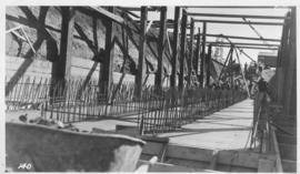
Main interceptor looking toward curve, Broadway and Main St.
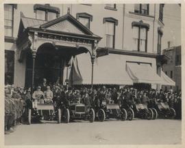
Cars and drivers, Clarendon Hotel

No. 8 A portion of the Lyndale dike in Norwood with the Norwood Bridge in the background
Dyking built up around Shaarey Zedek Synagogue, 1950 Flood
Outfall, 1936
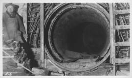
Looking east in tunnel from Clarifier control

Clarifier and Control Building

Interior view of Stores - 1947
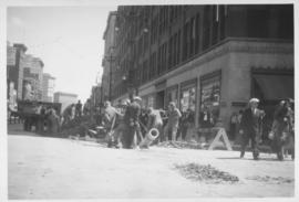
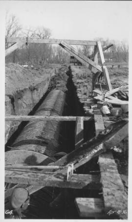
No. 2 Renewal of 8 inch cast iron water pipe in Portage Avenue from Kennedy Street to Main Street with 10 inch transit pipe, laid June, 1938
