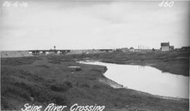
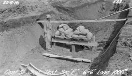
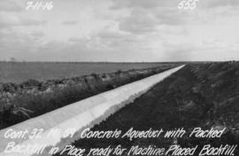
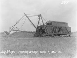
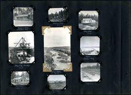
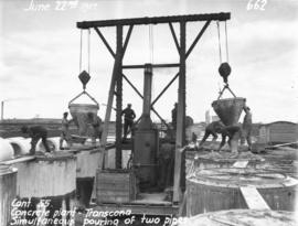
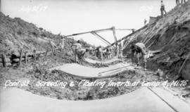
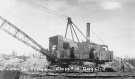
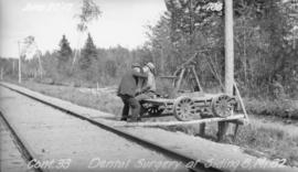
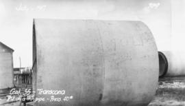
Item consists of a photo album created by William Smaill, Superintendent of the Winnipeg Aqueduct Construction Company, Ltd. The album contains photographs of the aqueduct’s construction, company men and their families, recreation, camps and homes used during construction, the Greater Winnipeg Water District Railway, and the surrounding landscape (Shoal Lake, Whitemouth River, Indian Bay, Birch River). There are also several photos of Winnipeg during Decoration Day 1914, photos of Mayors T.R. Deacon, Thomas Sharpe, and R.D. Waugh, and two photos of an Anishinaabe camp at Kekekoziibii Shoal Lake 40 First Nation.
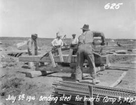
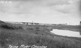
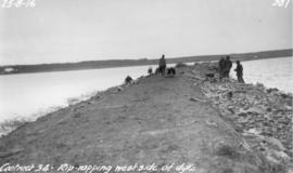
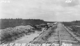
The photos are heavily annotated. The annotations consist of names, locations, descriptions, and sometimes the section or specific mile of the aqueduct. A few photos appear to be missing and there are several loose pages with similar content. The photos are arranged somewhat chronologically – photos from 1914 generally precede photos from 1915 – but there are many exceptions.