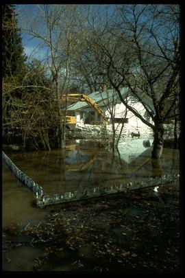
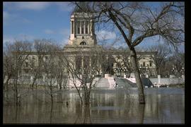
1997 flood - St. Norbert Heritage Park
A photograph of historic Bohemier House in St. Norbert Heritage Park during the 1997 flood. An earthen dike has been built around the house.
Winnipeg (Man.). Community Services Department
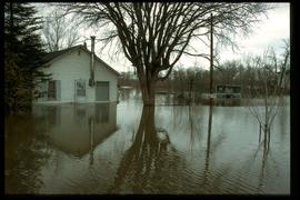
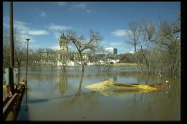
1997 flood - 3690 Pembina Highway
A photograph of several flooded buildings at 3690 Pembina Highway in St. Norbert during the 1997 flood.
Winnipeg (Man.). Community Services Department
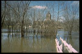
1997 flood - Holly Avenue at South Drive
A photograph of a house, surrounded by water and a sandbag dike, at the corner of Holly Avenue and South Drive during the 1997 flood.
Winnipeg (Man.). Community Services Department
1997 flood - Floodway gates on Red River
A photograph of the open floodway gates, water rushing through them, on the Red River during the 1997 flood.
Winnipeg (Man.). Community Services Department
1997 flood - Turnbull Drive - house
A photograph of a house on Turnbull Drive, surrounded by water, during the 1997 flood.
Winnipeg (Man.). Community Services Department
1997 flood - 201 Kingston Row
A photograph of 201 Kingston Row during the 1997 flood.
Winnipeg (Man.). Community Services Department
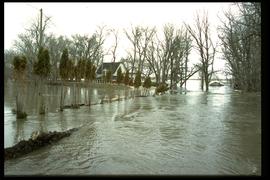
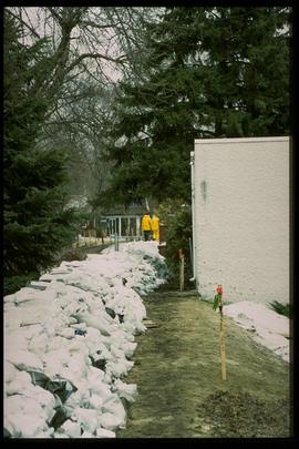
1997 flood - Elm Park Bridge and dike
A photograph of a sandbag dike along the Red River close to the Elm Park Bridge during the 1997 flood.
Winnipeg (Man.). Community Services Department
1997 flood - Kingston Row - security checkpoint
A photograph of a security checkpoint, including a police car, a Caterpillar, and a trailer, on Kingston Crescent during the 1997 flood.
Winnipeg (Man.). Community Services Department
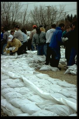
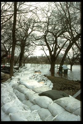
1997 flood - Kingston Row - dike
A photograph of a sandbag dike on Kingston Row during the 1997 flood.
Winnipeg (Man.). Community Services Department