Showing 33 results

archival descriptions
Item Railroads
Print preview Hierarchy View:

32 results with digital objects Show results with digital objects

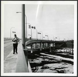
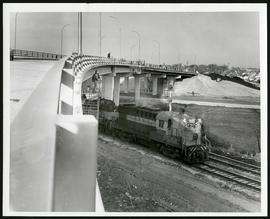
People walking across overpass

Photograph of people walking across the Nairn Overpass with snow on the ground below. The overpass is lined with flags. Photographed by Gunter A. Schoch, Landscape Architect for the Metro Parks and Protection Division.

Metropolitan Corporation of Greater Winnipeg (Man.). Information Officer

For Your Guidance While in Winnipeg promotional map

A promotional map created by the Publicity Bureau of Winnipeg and Manitoba titled "For Your Guidance While in Winnipeg". Map was originally folded as a pamphlet, the front page of which features a graphic of two people driving down Highway 14 (now Highway 75) to Winnipeg. The map is not scale and features cartoon depictions of tourist destinations and landmarks around Winnipeg and St. Boniface. The maps shows major streets, railroads, and street railway lines. The map side was originally framed and cut to fit. At a result a small part of the front page is cut off, including a stamp reading "St. Raphael's Ukrainian Immigrants' Welfare Association of Can[ada]".

Block, Morris

Pumping water on Robert Street

A photograph of a pipe pouring water onto tracks on Robert Street (Galt Avenue) during the 1950 flood. A pile of wood is along one side of the street. The Ogilvie Flour Mill can be seen in the background.

Harold K. White Studio

William Smaill Photo Album

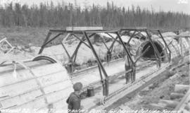
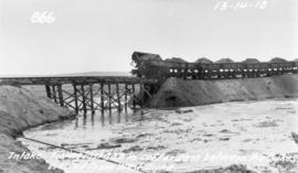
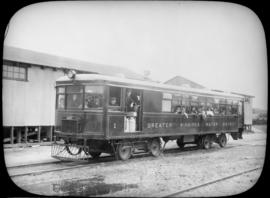
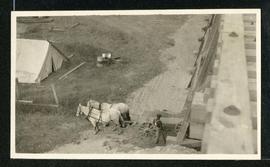
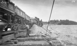
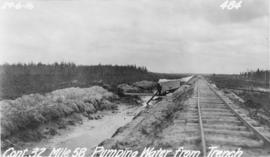
Item consists of a photo album created by William Smaill, Superintendent of the Winnipeg Aqueduct Construction Company, Ltd. The album contains photographs of the aqueduct’s construction, company men and their families, recreation, camps and homes used during construction, the Greater Winnipeg Water District Railway, and the surrounding landscape (Shoal Lake, Whitemouth River, Indian Bay, Birch River). There are also several photos of Winnipeg during Decoration Day 1914, photos of Mayors T.R. Deacon, Thomas Sharpe, and R.D. Waugh, and two photos of an Anishinaabe camp at Kekekoziibii Shoal Lake 40 First Nation.

The photos are heavily annotated. The annotations consist of names, locations, descriptions, and sometimes the section or specific mile of the aqueduct. A few photos appear to be missing and there are several loose pages with similar content. The photos are arranged somewhat chronologically – photos from 1914 generally precede photos from 1915 – but there are many exceptions.

Smaill, William

Results 1 to 20 of 33