A map of the proposed Tuxedo Park residential suburb, specifically the area surrounding the old University of Manitoba campus and Olmsted and Assiniboine Parks. The map shows streets and lots as well as details of the university campus. The map was created by Charles Clifton Chataway (1869-1920) and Bulman Brothers Ltd.
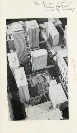
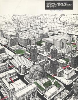
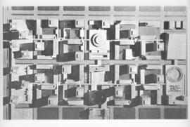
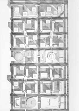
Photograph shows a conceptual model of the Japanese Gardens and the area between Carlton and Hargrave Streets, and York and St. Mary Avenues. Most of the buildings in the model were never built and the Japanese Gardens are significantly different than that which currently exists. The photographer is unknown.
Metropolitan Corporation of Greater Winnipeg (Man.). Information Officer
Item is a photographic reproduction of map showing various sewer system details. Stamp (on verso): City of Winnipeg - Engineering Dept., Water Works Division, Ross and Tecumseh.