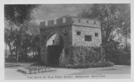
The Gate of Old Fort Garry, Winnipeg, Manitoba
- i01760
- Item
- 1940
Date of photograph is approximate, ca. 1940.
The Gate of Old Fort Garry, Winnipeg, Manitoba
Date of photograph is approximate, ca. 1940.
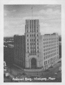
Photograph shows Federal building located on Main Street at Water Avenue.

C.N.R. Station, Winnipeg, Man.
Photograph shows Canadian National Railway Station situated on Main Street.
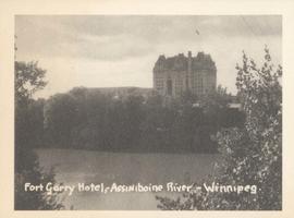
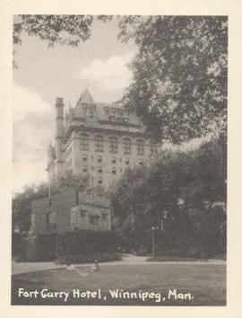
Fort Garry Hotel, Assiniboine River - Winnipeg
Photograph shows Fort Garry Hotel with view looking northwest over Assiniboine River. Date of photograph is approximate, ca. 1940.
Fort Garry Hotel, Winnipeg, Man. showing Upper Fort Garry Gate in foreground
Date of photograph is approximate, ca. 1940.

City Hall, Winnipeg, Man. showing "Welcome Visitors" sign
Photograph shows Winnipeg's second city hall (1886-1962). Date of photograph is approximate, ca. 1940.

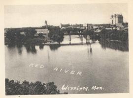
Junction of Red River and Assiniboine River
Photograph shows Fort Garry Hotel in background. Date of photograph is approximate, ca. 1940.
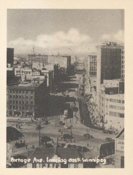
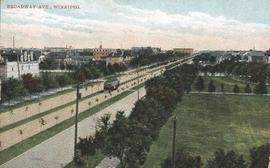
Portage Ave. looking east, Winnipeg
Photograph show Portage Avenue looking east from Main Street. Date of photograph is approximate, ca. 1940.
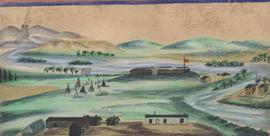
Watercolour depicting early Winnipeg (Fort Garry)

Postcard shows Union Bank building at Main Street and William Avenue. Date of postcard is uncertain, [before 1949].
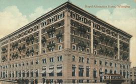
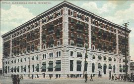
Royal Alexandra Hotel, Winnipeg
Postcard shows Royal Alexandra Hotel with people standing on the street and a streetcar. Date of postcard is uncertain, [before 1949].
Date of postcard is uncertain, [before 1949].
Postcard shows streetcar, horse buggies and Union Bank building.

Manitoba Club and Old Fort Garry Gateway, Winnipeg
Date of postcard is uncertain, [before 1949].
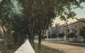
Broadway Methodist Church and Kennedy Street, Winnipeg
Date of postcard is uncertain, [before 1949].
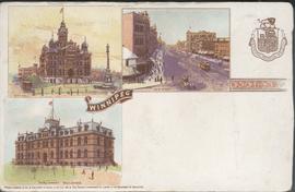
Canadian Postal Card showing Winnipeg City Hall, Main Street and Parliament Buildings
Postcard shows Winnipeg's second city hall (1886-1962), Main Street and Parliament buildings.
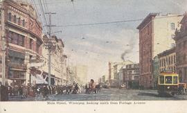
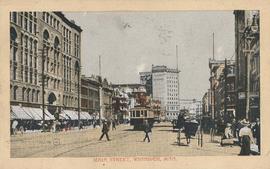
Main Street, Winnipeg, looking north from Portage Avenue