Riverwalk
Riverwalk

Aerial of 1974 Flood – Red River between East and West Kildonan

Aerial of 1974 Flood – Pritchard Avenue Boat Dock and Redwood Bridge

Aerial of 1974 Flood – Fraser’s Grove Park

Aerial of 1974 Flood – Bergen Cutoff Bridge

Aerial of 1974 Flood – Red River between North and West Kildonan

Footbridge in La Barriere Park
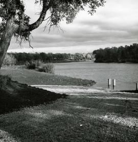
Boat ramp at Crescent Drive Park
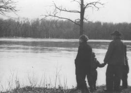
Wildwood Park - flood, 1950
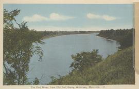
The Red River, from Old Fort Garry, Winnipeg, Manitoba
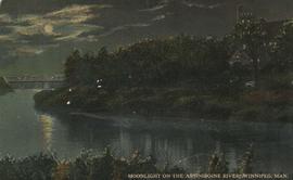
Moonlight on the Assiniboine River, Winnipeg, Man.
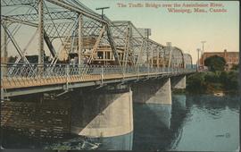
The Traffic Bridge over the Assiniboine River, Winnipeg
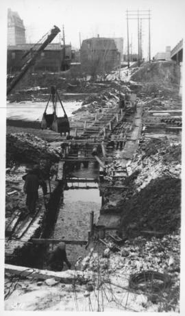
Assiniboine River crossing at Main Street, laying pipe
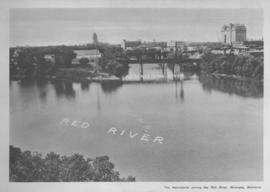
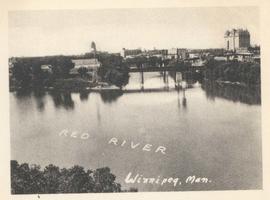
The Assiniboine River joining the Red River, Winnipeg, Manitoba
![Kildonan Park [Aerial view]](/uploads/r/city-of-winnipeg-archives-amp-records-control-branch/f/1/2/f128f88f8d2c2c0c11c754244bf269182c057eec594b0ca1962384f7a8471152/C0013_0000_0000_P0018_0036_001_142.jpg)
Kildonan Park [Aerial view]

Aerial photograph south of Winnipeg, east of Red River, 1943

Aerial photograph Red River north from southern boundaries of North Kildonan and West St. Paul, north of Winnipeg, 1943

Aerial photograph south side of Assiniboine River, west from Assiniboine Park, 1943

Aerial photograph area west of Red River, south of Winnipeg City Limits, 1943
Junction of Red River and Assiniboine River
