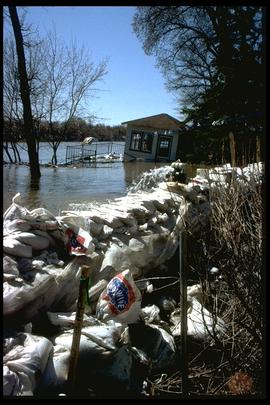
1997 flood - Scotia Street - dike
Add to clipboard
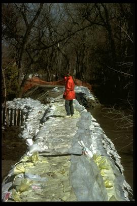
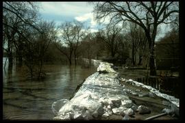
A photograph of a sandbag dike along the flooded Red River near Scotia Street during the 1997 flood.
Winnipeg (Man.). Community Services Department
1997 flood - City Hall - Emergency Call Centre
Add to clipboard
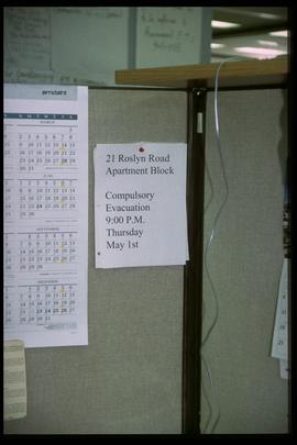
A photograph of a sign at the City Hall emergency call centre during the 1997 flood. The sign notes that 21 Roslyn Road must be evacuated by 9 pm on May 1.
Winnipeg (Man.). Community Services Department
1997 flood - City Hall - signage
Add to clipboard
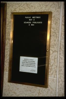
A photograph of signage at City Hall stating that two committee rooms have been reserved for flood services until further notice.
Winnipeg (Man.). Community Services Department
1997 flood - 451 Kingston Crescent
Add to clipboard
A photographof a sandbag dike and a listing, flooded building at 451 Kingston Crescent during the 1997 flood.
Winnipeg (Man.). Community Services Department
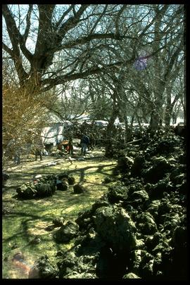
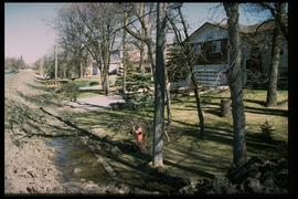
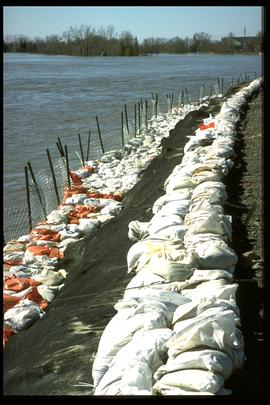
1997 flood - Red River Drive - dike
Add to clipboard
A photograph of an earthen and sandbag dike on Red River Drive during the 1997 flood.
Winnipeg (Man.). Community Services Department
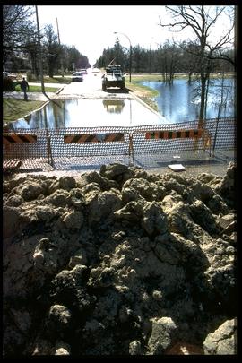
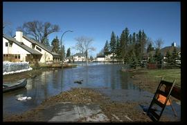
1997 flood - Pembina Highway
Add to clipboard
A photograph of floodwater on Pembina Highway during the 1997 flood.
Winnipeg (Man.). Community Services Department
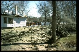
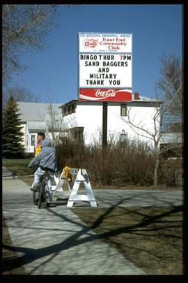
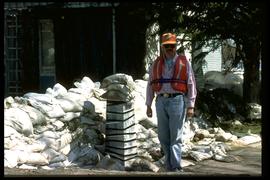
1997 flood - Avenue Lord - houses
Add to clipboard
A photograph of a man in a lifejacket standing near a house on Avenue Lord during the 1997 flood.
Winnipeg (Man.). Community Services Department
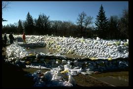
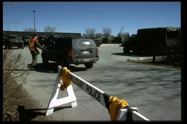
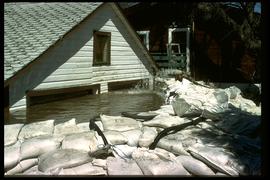
1997 flood - Rue Campeau - houses
Add to clipboard
A photograph of a house surrounded by deep water inside a sandbag dike on Rue Campeau during the 1997 flood.
Winnipeg (Man.). Community Services Department