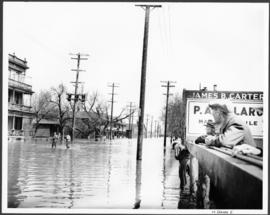
Public Aid
Add to clipboard
Public Aid
Add to clipboard
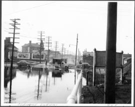
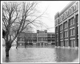
Power House Flooding
Add to clipboard
Portage Avenue Subway
Add to clipboard
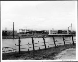
Pembina Subway
Add to clipboard
Osborne Subway
Add to clipboard
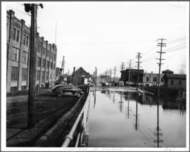
Osborne Street Subway
Add to clipboard
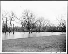
Osborne Bridge Downstream
Add to clipboard
Osborne and Broadway
Add to clipboard
Oakwood Riverview
Add to clipboard
Notre Dame Avenue East
Add to clipboard
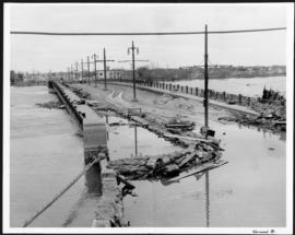
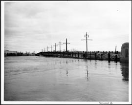
Norwood Bridge
Add to clipboard
Norwood Bridge
Add to clipboard
Norwood Bridge
Add to clipboard
North from Arnold and Hay
Add to clipboard
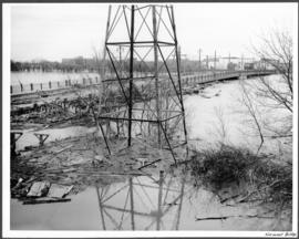
No. 8 A portion of the Lyndale dike in Norwood with the Norwood Bridge in the background
Add to clipboard
No. 4 Plan of City of Winnipeg and environs showing sewer district boundaries, trunk sewers, Greater Winnipeg Sanitary District Interceptor, sewage pumping stations and underpasses
New house, 129, 133, 137, 143 and 145 Maplewood Avenue
Add to clipboard
New house, 129, 133, 137, 143 and 145 Maplewood Avenue
Negatives - 2 views ? Baltimore Road
Add to clipboard
Negatives - 2 views ? Baltimore Road
Add to clipboard
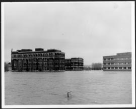
Municipal Hospitals
Add to clipboard
Municipal Hospitals