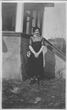
Neta Turner in front of house in Fort Garry, Winnipeg

Winnipeg’s Best Tourist Cabin Camp on Pembina Highway

Winnipeg Tourist Cabins and Camp Park on Pembina Highway

Aerial view of Riverview, St. Vital, and Wildwood
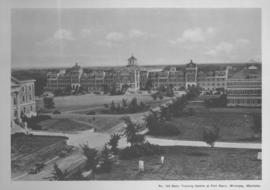
Basic Training Centre at Fort Garry, Winnipeg, Manitoba

Aerial photograph south of Winnipeg, east of Red River, 1943

Aerial photograph area west of Red River, south of Winnipeg City Limits, 1943
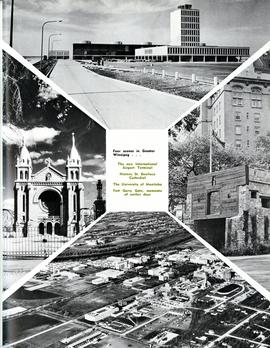
Four scenes in Greater Winnipeg

Footbridge in La Barriere Park

Southgate Shopping Centre panorama
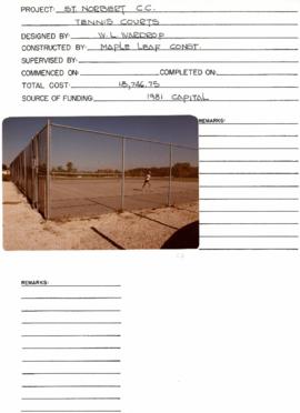
St. Norbert Community Centre
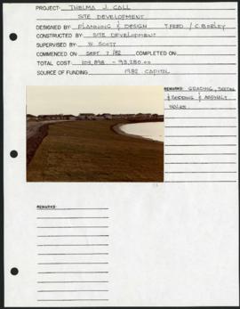
Thelma J. Call Park – project development components
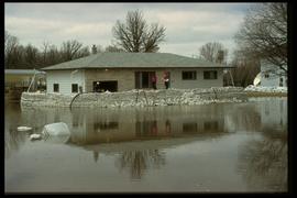
1997 flood - 3671 Pembina Highway
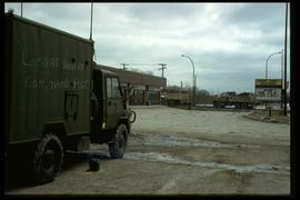
1997 flood - Pembina Highway (St. Norbert)
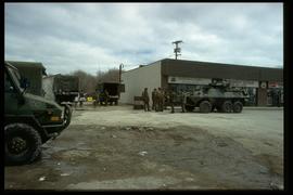
1997 flood - Pembina Highway (St. Norbert)
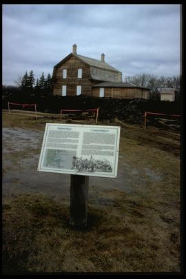
1997 flood - St. Norbert Heritage Park
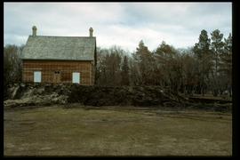
1997 flood - St. Norbert Heritage Park
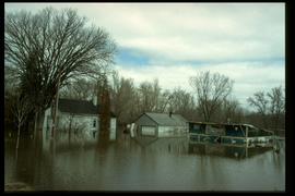
1997 flood - 3690 Pembina Highway

1997 flood - St. Norbert Heritage Park
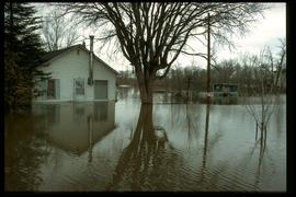
1997 flood - 3690 Pembina Highway
