Showing 125 results

archival descriptions
City of Winnipeg Archives Photograph collection Transportation
Print preview Hierarchy View:

123 results with digital objects Show results with digital objects

Rossmere Shopping Centre panorama

View of Rossmere Shopping Centre, 1070 Henderson Highway, southwest corner Rowandale, 4.25 acres. From left to right: a garage or car wash, Red River Co-Op Store, Rossmere Lanes Bowling Alley, Library, Dry Cleaners, Co-operators Credit Union Society Limited, Rowandale Baptist Church, Rowandale Apartments, Red River Co-Op Gas Station. Consists of 3 separate photographs pasted together on cardboard to create a panorama. The cardboard is a scrap made from an old sign of the Metropolitan Corporation of Greater Winnipeg (visible on the reverse). The cardboard is numbered “2”, presumably as part of a compilation with other shopping centre panoramas.

Metropolitan Corporation of Greater Winnipeg (Man.). Planning Division

Scrapbook of Corporal Wallace – page 2

Page 2 of a photograph scrapbook made by Corporal John Wallace in April 1940. Photos consist of Portage Avenue looking west from around Vaughn Street, a rail line at Portage Avenue and St. James Street, troops in formation, and Mrs. and Shirley Gardiner. See general notes section for more details.

Wallace, John

Scrapbook of Corporal Wallace – page 9

Page 9 of a photograph scrapbook made by Corporal John Wallace in April 1940. Photographs depict a street in Gladstone Manitoba, a trolley bus in Winnipeg on Kennedy Street (between Ellice and Qu'Appelle), and the Butler family, acquaintances of Wallace. See page three of this scrapbook for more details on the Butler family.

Wallace, John

Southdale Shopping Centre panorama

View of Southdale Shopping Centre, 35 Lakewood Boulevard, 12.8 acres. From left to right: Dominion Store, Canadian Imperial Bank of Commerce, Mall Entrance, Quintons, Ebbeling Pharmacy, Kmart Department Store. Consists of 3 separate photographs pasted together on cardboard to create a panorama. The cardboard is a scrap made from an old sign of the Metropolitan Corporation of Greater Winnipeg (visible on the reverse). The cardboard is numbered “5”, presumably as part of a compilation with other shopping centre panoramas.

Metropolitan Corporation of Greater Winnipeg (Man.). Planning Division

Southgate Shopping Centre panorama

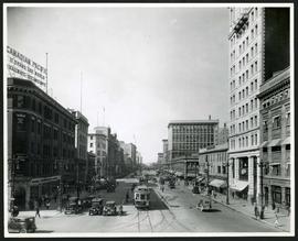
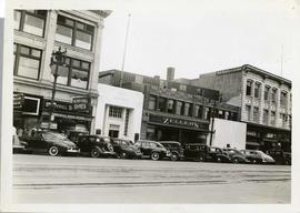
View of Southgate Village Shopping Centre, 1305-1341 Pembina Highway at the southwest corner of McGillivray Boulevard, 3.3 acres. From left to right: Pembina Curling Rink, Imperial Cleaners, Safeway, The Place, Young Togs, Reid Marshall Pharmacy, The Village Gift Shop, The French Salon, Marshall Wells, The Toronto Dominion Bank, Safeway gas bar. Consists of 3 separate photographs pasted together on cardboard to create a panorama. The cardboard is a scrap made from an old sign of the Metropolitan Corporation of Greater Winnipeg (visible on the reverse). The cardboard is numbered “7”, presumably as part of a compilation with other shopping centre panoramas.

Metropolitan Corporation of Greater Winnipeg (Man.). Planning Division

Results 61 to 80 of 125