Add to clipboard
No. 4 Plan of City of Winnipeg and environs showing sewer district boundaries, trunk sewers, Greater Winnipeg Sanitary District Interceptor, sewage pumping stations and underpasses
Scrapbook [1950 flood photographs]
Add to clipboard
Scrapbook [1950 flood photographs]
Add to clipboard
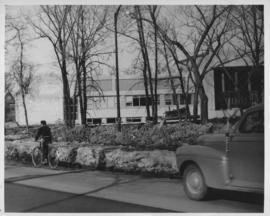
Wildwood Park - Three weeks before flood, 1950
Add to clipboard
No. 8 A portion of the Lyndale dike in Norwood with the Norwood Bridge in the background
Add to clipboard
Dyking built up around Shaarey Zedek Synagogue, 1950 Flood
Add to clipboard
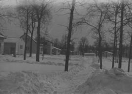
Wildwood Park - Three weeks before flood, 1950
Add to clipboard
Wildwood Park - Three weeks before flood, 1950
Add to clipboard
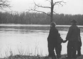
Wildwood Park - flood, 1950
Add to clipboard
Sandbags on the dyke (Wildwood Park - flood, 1950)
Add to clipboard
1950 Flood - Flood Evacuees at the St. Boniface train station
Add to clipboard
Sandbags - E sec [section] (Wildwood Park - flood, 1950)
Add to clipboard
Rover Sub Station
Add to clipboard
Rover Street Sub Station
Add to clipboard
Aerial of 1974 Flood – Red River between East and West Kildonan
Add to clipboard
Aerial of 1974 Flood – Pritchard Avenue Boat Dock and Redwood Bridge
Add to clipboard
Aerial of 1974 Flood – Fraser’s Grove Park
Add to clipboard
Aerial of 1974 Flood – Bergen Cutoff Bridge
Add to clipboard
Aerial of 1974 Flood – Red River between North and West Kildonan
Public Aid
Add to clipboard
Public Aid
Community Services - "Manitoba Flood '97" photos on CDs
Add to clipboard
Community Services - "Manitoba Flood '97" photos on CDs


![Sandbags - E sec [section] (Wildwood Park - flood, 1950)](/uploads/r/city-of-winnipeg-archives-amp-records-control-branch/c/4/a/c4a7e5ee657f2cf565da1e983d41beae65af0b67f4b9fb5fa71c540b99003de4/C0013_0000_0000_P0022_0094_001_142.jpg)


